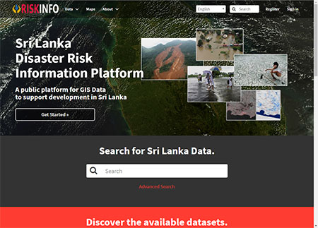
Risk Info
A natural disaster is a major adverse event resulting from natural processes of the Earth; examples include floods, hurricanes, tornadoes, volcanic eruptions, earthquakes, tsunamis, and other geologic processes. A natural disaster can cause loss of life or property damage, and typically leaves some economic damage in its wake, the severity of which depends on the affected population's resilience, or ability to recover and also on the infrastructure available
http://www.riskinfo.lk
|
 |
iRoads
The Government of Sri Lanka is implementing the Integrated Road Investment Program (iRoad to improve the connectivity between rural communities and socioeconomic centers by improving the transport efficiency on selected national, provincial and local roads.Under the iRoad Program, around 3000km of rural roads in Southern, Sabaragamuwa, Central, North Central, North Western Provinces and Kalutara district in Western province will be improved / rehabilitated and maintained for three years through 42 civil works contracts.
http://www.iroad.rda.gov.lk
|
 |
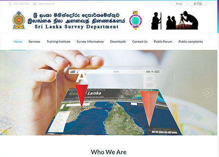
Survey Dept Portal
Survey Department has played a leading role in most of the development activities in Sri Lanka. Few of the major contributions are; Surveys for Land Settlement, Land Development, Land Reform, Mahaweli Development Project, Galoya Irrigation Project, Southern Highway Project, Southern Harbour development project, Southern Airport establishment project, Power generation projects, establishment of Geodetic Control Network and upgrading same to a higher level of accuracy with the introduction of Global Positioning System (GPS), publishing the National Atlas in all three languages (Sinhala, Tamil and English), One inch to One Mile Map Series for the entire country, which was subsequently replaced by 1 : 50,000 Topographic Map Series, 1 : 10,000 Topographical Map Series for 80% of the country, 1 : 2,000 City Maps of Colombo and suburbs, and establishment of Topographic Vector Databases at the scales of 1 : 250,000, 1 : 50,000 and 1 : 10,000.
https://www.survey.gov.lk
|
 |
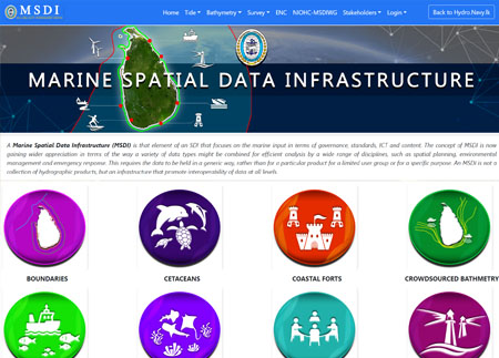
Marine Spatial Data Infrastructure (MSDI)
A Marine Spatial Data Infrastructure (MSDI) is that element of an SDI that focuses on the marine input in terms of governance, standards, ICT and content. The concept of MSDI is now gaining wider appreciation in terms of the way a variety of data types might be combined for efficient analysis by a wide range of disciplines, such as spatial planning, environmental management and emergency response. This requires the data to be held in a generic way, rather than for a particular product for a limited user group or for a specific purpose. An MSDI is not a collection of hydrographic products, but an infrastructure that promote interoperability of data at all levels..
https://msdi.navy.lk/
|
 |